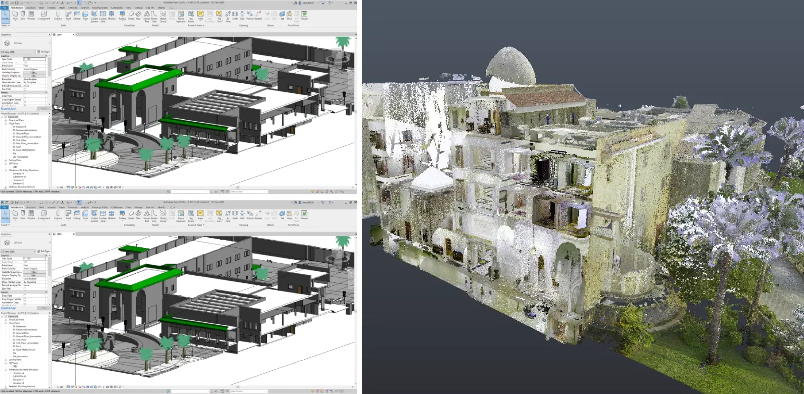
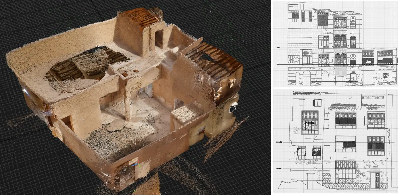
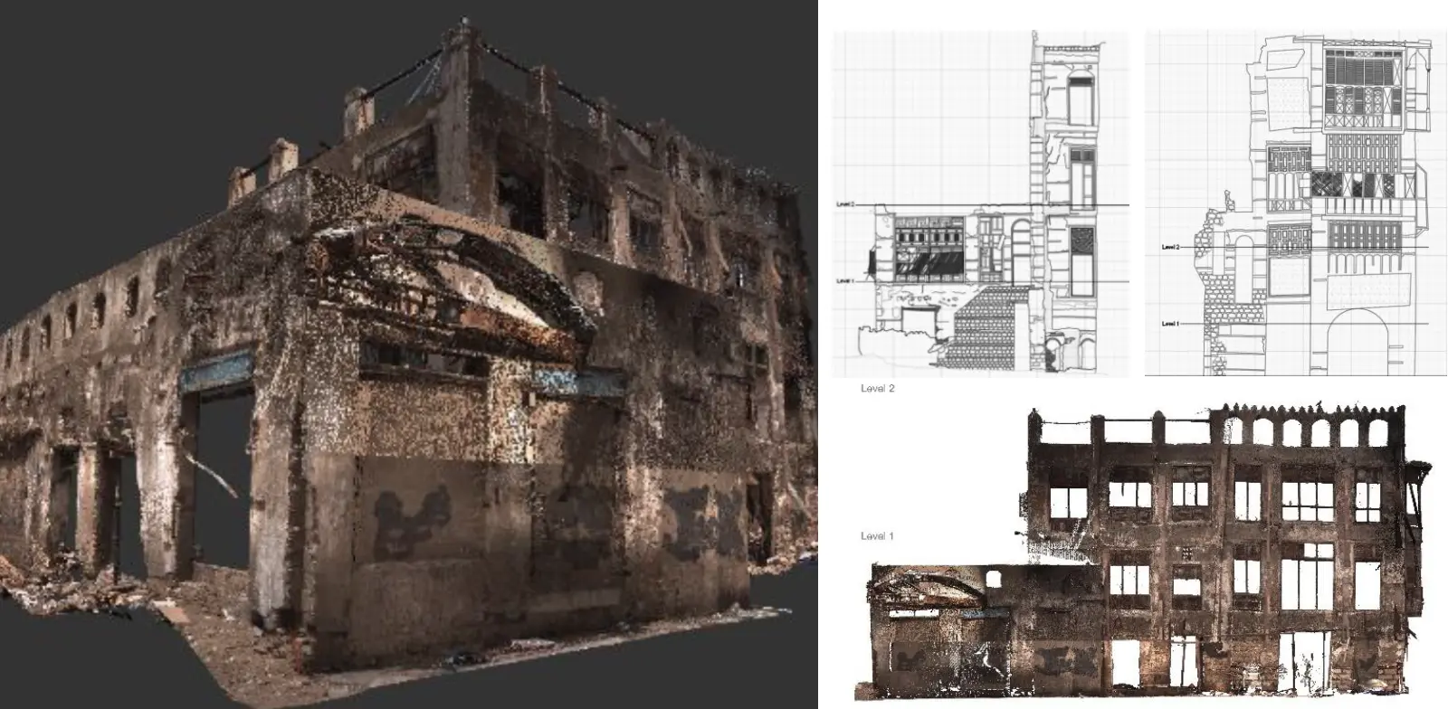
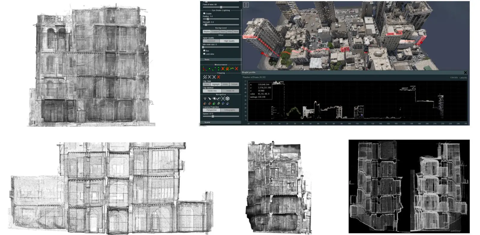
At GSC, we redefine accuracy through our 3D Terrestrial Laser Scanning solutions — an advanced technology designed to transform the physical world into precise digital data. Using state-of-the-art high-speed laser scanners, we capture millions of spatial data points per second to generate an exceptionally dense and detailed point cloud of any structure, landscape, or asset.
This powerful technique allows us to create a comprehensive three-dimensional representation of real-world environments with millimeter-level precision. The resulting data serves as a reliable foundation for numerous applications, including as-built documentation, Building Information Modeling (BIM), heritage preservation, clash detection, and the development of digital twins for smart asset management.
Our 3D laser scanning process ensures measurable, scalable, and permanent digital records that empower clients to make informed decisions throughout a project’s lifecycle — from design and construction to maintenance and future expansion. Whether for engineering, architecture, or cultural heritage, GSC’s scanning technology delivers unmatched clarity, accuracy, and insight into every dimension of reality.


