

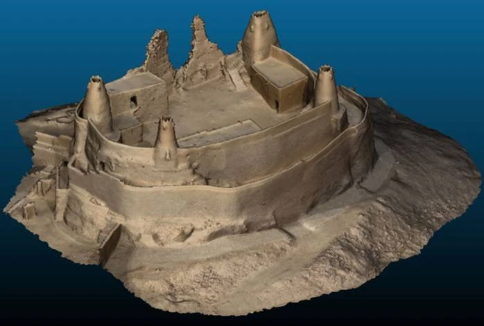
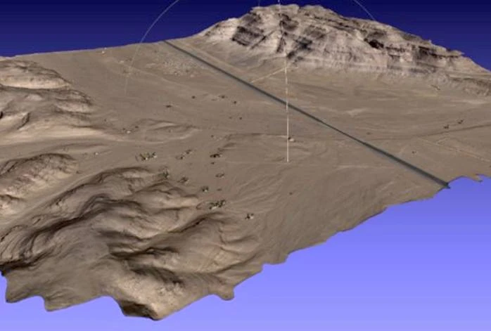
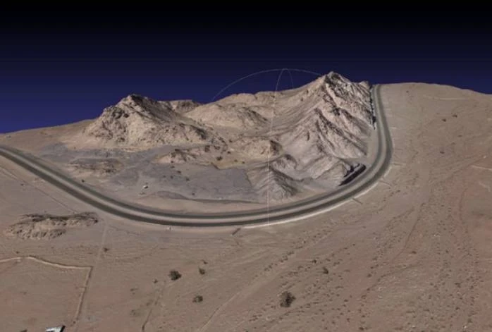
At GSC, precision is the foundation of everything we deliver. Through advanced aerial surveying and mapping solutions, we capture, process, and visualize the earth’s surface with an unmatched level of detail and reliability.
Using cutting-edge drones and manned aircraft, our teams conduct topographical surveys that set new benchmarks in data quality and operational efficiency. From large-scale terrains to intricate project sites, our technology delivers results with ±2 cm accuracy in X and Y, and ±5 cm in Z, ensuring that every measurement is dependable and every map tells the full story of the landscape.


